


21 km | 31 km-effort


Benutzer


Kostenlosegpshiking-Anwendung
 SityTrail
IGN / Geografische Institute
SityTrail World
Die Welt öffnet sich für Sie
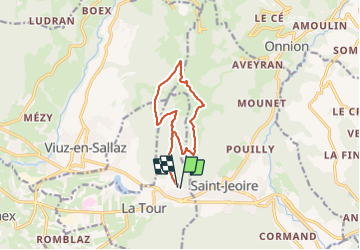
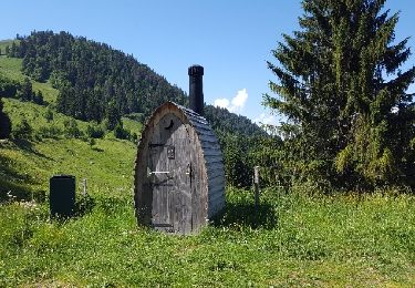
Tour von 11,1 km verfügbar auf Auvergne-Rhone-Alpen, Hochsavoyen, La Tour. Diese Tour wird von olivieraron vorgeschlagen.
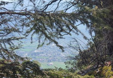
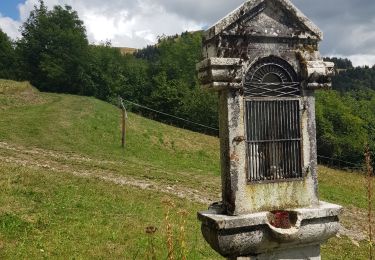
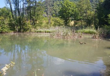
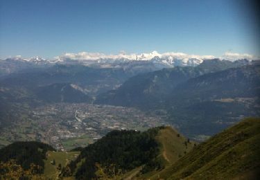
Cette balade au milieu des alpages, au son des clarines, est accessible à tous les marcheurs. Vous pouvez atteindre le sommet des Brasses où vous bénéficierez d'une vue panoramique exceptionnelle sur la chaîne du Mont-Blanc, le Jura, le Léman...Altitude départ : 1293 m Altitude d'arrivée : 1503 m
Wandern
Wandern
Wandern
Wandern

Wandern

Laufen
Laufen
Wandern
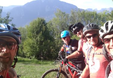
Mountainbike